Featured Route
Why Adventure Riding in Morocco
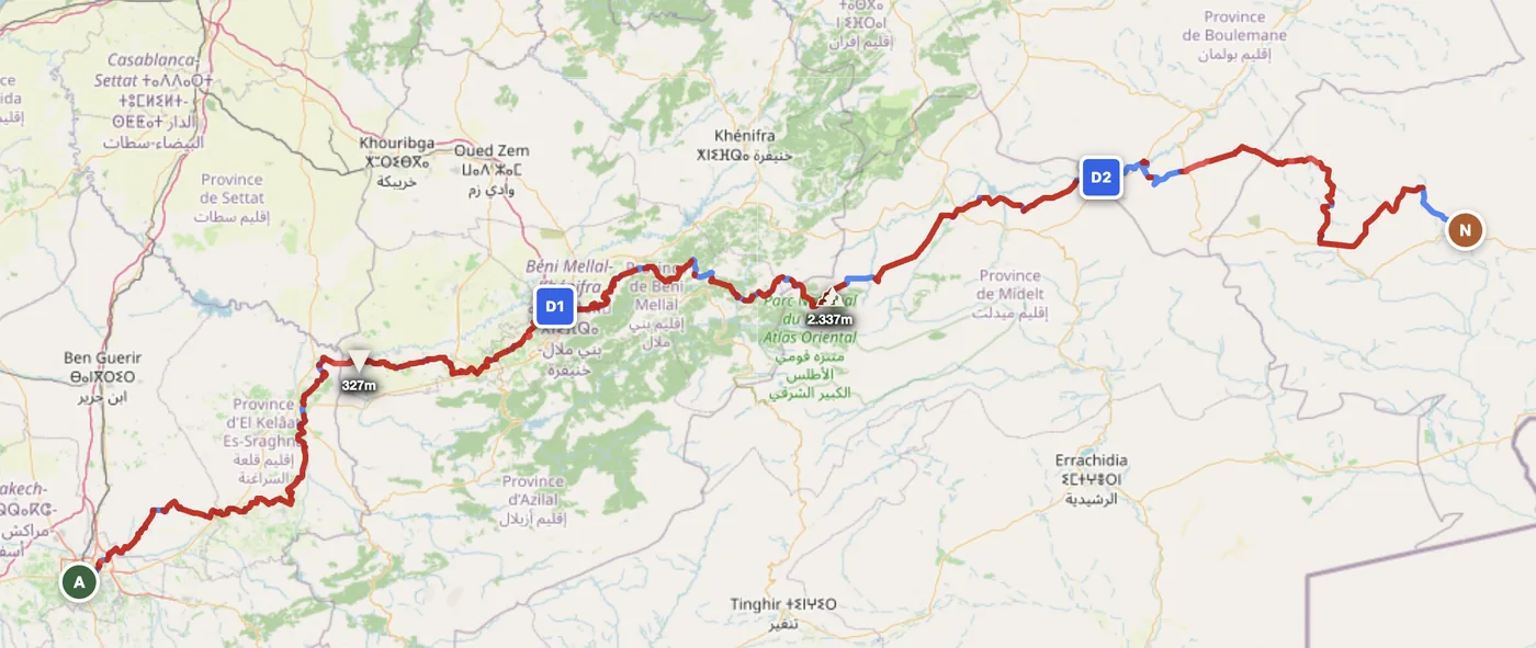
Morocco is the extreme south of the Mediterranean offroad world. The Middle Atlas is steep, forested, and technical — limestone plateaus laced with tight singletrack, pine forests above 2,000 m, and permanent riverbeds carved into canyon bottoms. But the real draw is the pre-Sahara: 3-day piste routes crossing 92% offroad terrain, sand and gravel tracks dissolving into landscape, settlements 80–120 km apart, and the horizon stretching without interruption. The Saharan edge is where most riders come — it's not a casual ride, but it's also not expedition-level. A standard dual-sport with proper navigation and preparation gets through.
Morocco works because it inverts European riding entirely. Winter is the season, not summer. October through March, the Saharan south hits 18–28°C — perfect. Piste is firm, light is golden, and 500+ km routes are possible in 3 days. Summer runs 42–46°C and is genuinely dangerous. The Middle Atlas at altitude stays cooler year-round but can see snow December–February. What draws riders is the mix: a rider can spend a week mixing Middle Atlas technical sections (great for skill work) with the expanse of the pre-Sahara (great for psychology). Fuel and water are the only logistics; navigation is the only skill. No other European country offers this scale.
The Zones
Northern mountains, accessible year-round. Limestone and cedar forest. Rock, singletrack, technical descents. Snow possible in winter on north-facing passes. Good for 2–3-day loops based from towns.
Southern plateau and edge of Sahara. Hard-packed sand, gravel and rock. Fewer settlements but more solitude. Routes like Tan-Tan to Assa run 150–200 km days on piste. October–March only.
Deep south toward Algeria. True desert: sand dunes, oasis towns, camel routes. Accessible November–March. Requires serious preparation — fuel caches, water discipline, GPS navigation non-optional.
When to Ride
Morocco is the inverse of European riding — winter is the season, not summer. October through March is the sweet spot: temperatures in the south are 18–28°C, the piste is firm and dry, and the light is exceptional. April and May still work but southern temperatures start climbing fast. June through September the pre-Saharan south regularly hits 42–46°C — genuinely dangerous for a full day on the piste. The Middle Atlas adds a separate variable: at altitude, snow is possible from December to February on north-facing tracks, but the lower foothills stay rideable year-round.
How to Fit It Into Your Route
- Spain → Morocco → Spain loop. Ferry from southern Spain to Ceuta or Tangier, ride Middle Atlas technical sections, make a short pre-Sahara push, return. 7–10 days total, European and African terrain.
- Northern Morocco skill week. Base in Fez or Tazi, ride daily loops in Middle Atlas from towns. No need for wild camping; pensions abundant. October–March only.
- The 3-day piste crossing. Tan-Tan south to Assa or beyond — true Saharan edge riding. 500+ km over 3 days, 92% offroad, fuel and water discipline essential. October–March only. Expert riders.
Practical
Southern piste has 120–150 km gaps. Carry extra jerry can. Northern towns (Taza, Fez, Marrakech) have regular stations. Never enter the south on half tank. Plan fuel stops every 150 km minimum.
Morocco uses dirham (MAD), not euro. Roughly 10 MAD = 1 EUR. Cash essential in the south — ATMs sparse. Cards work in major towns. Fuel and food very cheap; accommodation under 30 EUR.
EU/Western citizens: visa-free 90 days. Motorcycle requires temporary import permit at border (Ceuta/Melilla by land, Tanger Med by ferry). Keep documentation with bike always.
Northern towns have auberges and guesthouses. South: wild camping on piste accepted away from settlements. For 3-day piste, Tan-Tan and Assa are overnight points. Book northern accommodation ahead.
Coverage drops sharply on southern piste (60–80 km dead zones possible). Download offline maps before leaving last town — GPS track is non-optional. Get a Maroc Telecom SIM in towns.
South: carry 3+ litres per person daily. No refill sources on piste. June–September temps hit 42–46°C — dangerous. Winter (Oct–Mar) 18–28°C. Dehydration is the primary risk factor.
Plan an offroad route in Morocco
Set your start and end — GoraAdv finds the most offroad line between them. Adjust, calculate, export GPX.
Open the Planner →