Featured Route
Why Adventure Riding in Turkey
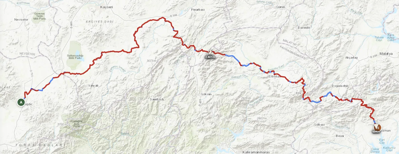
Turkey is size and isolation combined. The Cappadocia region in central Anatolia offers otherworldly lunar terrain — soft rock valleys, singletrack canyons, and expanses of otherworldly formations. The Black Sea Kaçkar Mountains run north-south as dense green walls — one of Europe's wettest regions, with 2,000+ mm annual rainfall and a 13-hairpin climb that sits above 2,000 m. Eastern Anatolia is vast, technical, and sparsely settled — rocky plateaus above 2,500 m, primitive villages 100+ km apart, and riding that feels genuinely isolated despite being in the European continent.
Turkey works because it scales. Cappadocia is accessible — day loops from Göreme or multi-day routes through valleys. The Kaçkar is serious climbing with proper infrastructure (the D915 is rough but passable). Eastern Anatolia is expedition-level — settlements thin dramatically, fuel gaps run 80–120 km, and self-sufficiency becomes a requirement. The season timing is critical: April–June and September–October are the windows; July–August hits 45–46°C in the south (dangerous), and winter snow closes high passes November–April. What draws riders is the range: a single country offers easy, medium, and hard options all accessible in 2–3 weeks. Few countries in this part of the world scale that way.
The Zones
Otherworldly rock valleys and singletrack canyons. Soft tuff formations create maze-like terrain. Good for day loops or 2–3-day routes. Well-known, accessible, perfect for skill building.
Steep green walls, 13-hairpin D915 climb to 2,000+ m. One of Europe's wettest regions. Technically challenging, exposed passages. Infrastructure exists (fuel, accommodation) but harsh conditions.
Vast empty terrain, Mount Ararat region. Primitive villages 100+ km apart. Rocky, technical. Serious expedition territory — fuel caches, self-sufficiency mandatory. April–June and September–October only.
When to Ride
Turkey's riding window depends entirely on which region you target. Cappadocia (central) is rideable from March through November — spring and autumn are ideal at 10–27 °C, while summer pushes 35–40 °C. The Black Sea mountains are wettest in September–October (228+ mm/month) and the D915 Bayburt road stays closed from late October through June. Eastern Anatolia gets extreme: snow covers the ground from November to late April, temps drop to –13 °C average in winter, and high passes exceed 3,000 m. The southeast hits 45–46 °C in July–August — dangerous for long riding days. April–June and September–October are the universal sweet spot across all regions.
How to Fit It Into Your Route
- Greece → Turkey Balkans crossing. Ferry to Turkey or enter via land from Bulgaria/Greece, ride Cappadocia skill-building loops, push north to Kaçkar or east toward Armenia. 2–3 weeks total.
- Cappadocia week. Base in Göreme or Avanos, ride daily loops (20–100 km) through valley mazes, develop canyon navigation skills. No multi-day wilderness camping needed.
- Cappadocia → Kaçkar → Eastern Anatolia push. Central Anatolia techniques, climb the Kaçkar D915, push east into Ararat region. Advanced riders only. April–June or September–October. Fuel discipline essential.
Practical
Cappadocia has regular stations. Black Sea/Eastern Anatolia: gaps 80–120 km common. Fill up before mountain sections. Remote stations may close at night or after hours.
Turkey uses lira (TRY), not euro — exchange fluctuates. Roughly 30–32 TRY = 1 EUR as of 2026. Cards work in towns; cash essential in rural areas. Food and fuel very affordable.
Land borders with Greece (no issues), Bulgaria (no issues), Georgia (can ride), Armenia (check political situation), Syria (closed), Iraq (not recommended), Iran (complex), Azerbaijan (check). EU citizens need passport. Helmet and insurance mandatory.
Cappadocia has abundant guesthouses in Göreme and towns. Eastern Anatolia: family pansiyons (basic, 20–30 EUR/night). Wild camping tolerated away from settlements. Book accommodation ahead in peak season.
4G covers 95% of populated areas and major roads. Dead zones in deep eastern regions. Get Turkcell or Vodafone SIM in cities. Download offline maps before remote sections.
April–June: 10–27°C depending on elevation. July–August: 35–46°C (dangerous south). September–October: 10–25°C. Winter eastern passes close under snow. Night temps near freezing at altitude.
Plan an offroad route in Turkey
Set your start and end — GoraAdv finds the most offroad line between them. Adjust, calculate, export GPX.
Open the Planner →