Featured Route
Why Adventure Riding in Bosnia
Bosnia delivers raw, unfiltered riding in the Dinaric Alps — a mountain range that few riders have heard of and fewer still have ridden. The landscape is dramatic: steep limestone ridges, deep mountain valleys, and high plateaus where the only sound is wind and the occasional distant shepherd's bell. Roads are rough, infrastructure is minimal, and that remoteness is precisely the point. You'll ride for hours without seeing another vehicle.
The combination of altitude (peaks over 1,500m), excellent track conditions (wide military/forestry roads), and near-zero motorcycle traffic makes Bosnia one of Europe's most underrated adventure destinations. The Dinaric highlands demand respect — navigation signage is minimal and logistics are sparse — but riders who embrace these challenges find authentic wilderness riding and a sense of exploration that polished tourism destinations can't match.
The Regions
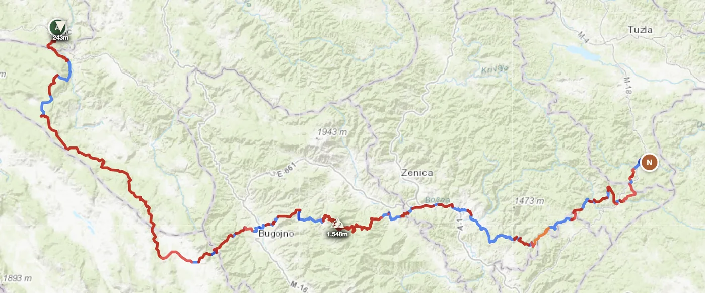
The heartland. North of Sarajevo toward Jajce and Glamoč, the highest and most dramatic terrain. Military/forestry roads, vast plateaus and shepherd tracks. The core of multi-day routes and the most technically interesting region.
Southern limestone plateau toward Mostar. Lower than the north but equally remote with gorge and limestone cave terrain. Drier, rockier landscape. Good 5-month window (April–October) versus the more constrained Dinaric season.
The Livanjsko polje plateau and western approaches. Gravel plains, rolling forest roads, and better road infrastructure than the high Dinaric sections. Gateway region for entry/exit and multi-country combinations.
When to Ride
April through October is the full riding season. The Dinaric highlands can hold snow into April, and gravel tracks above 1,200m are often impassable before late April. June is the sweet spot — tracks firm, temperatures 18–26°C in the mountains, Herzegovina still green. July and August are excellent at altitude: the Dinaric ridge stays cool and the tracks are bone-dry and fast, even if the Herzegovina valleys below hit 35°C. September and October are equally good — cooler air, empty tracks, autumn colour. November brings the first snow on the high passes; December through March should be avoided above 1,000m.
How to Fit It Into Your Route
- Dinaric north-to-south loop. Enter from Croatia or Montenegro, cross the high Dinaric passes via Glamoč and Livno, exit toward Herzegovina — a 3–4 day immersion in raw mountain riding.
- Slovenia → Bosnia → Serbia Balkan chain. Cross from the Julian Alps south through the Dinaric mountains and link to the Serbian border — tying three countries through continuous offroad terrain.
- Croatia's inland loop. Ride Bosnia's eastern Dinaric flank as a connector between coastal Croatian routes and the mountain interior.
Practical
Sparse in the Dinaric interior. Glamoč and Livno are the key refuel points. On longer routes, Mostar and Sarajevo are reliable bases — after that, carry reserve.
Bosnia uses the Convertible Mark (BAM), pegged to the euro. Cards are accepted in cities but cash is essential in rural villages, small fuel stations and mountain tavernas.
Land borders with Croatia, Serbia and Montenegro. Schengen rules apply with Croatia; passport control with Serbia and Montenegro. Complex border regions exist — check current crossing points before departure.
Jajce and Mostar are the best mountain bases with good accommodation. Wild camping is widely practised and largely tolerated in the highlands.
Coverage drops quickly in remote valleys and mountain sections. Download offline maps before leaving any town — signage is minimal on forest tracks.
Highlands stay 12–20°C in summer. Valleys reach 25–35°C. Nights above 1,200m can drop below freezing even in July. Spring and autumn weather shifts fast in the mountains.
Plan an offroad route in Bosnia
Set your start and end — GoraAdv finds the most offroad line through the Dinaric mountains. Adjust, calculate, export GPX.
Open the Planner →