Featured Route
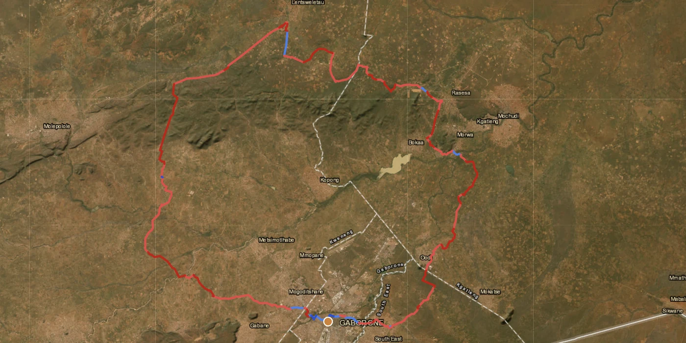
Country Overview
Botswana is sand. The Kalahari covers roughly two thirds of the country in soft sand veld crossed by tracks and dead-straight cutlines, the Makgadikgadi pans in the northeast form one of the largest salt flats on earth, and the Okavango spreads into the northwest as an inland delta. Away from the few tarred trunk roads the surface is almost always sand, and the riding is defined by that more than by gradient or altitude.
Two facts shape every route here, and both are worth knowing before planning rather than after. Motorcycles are not permitted inside Botswana's national parks and game reserves — you may transit on a public tar road that crosses one, but the park tracks are closed to bikes. The Central Kalahari, Chobe, Moremi and the delta are therefore ridden around rather than through. And the wildlife outside the parks is not scenery — elephants on unfenced roads at dawn and dusk are a real hazard, and the country is best ridden light, in the dry season, with the day finished before last light.
The Regions
Two thirds of the country. Sand tracks between cattle posts and small settlements, thornveld that all looks alike, and cutlines running dead straight for tens of kilometres. Navigation matters more than technical skill, and sand technique matters more than either. Firmest in the dry season.
The pans are a genuine landscape of their own — flat, white, silent, and hard enough to ride in the dry months. They are also the single most dangerous surface in the country when wet: the crust hides mud that will swallow a bike, and every year vehicles are recovered from it. Ride the edges, and never after rain.
The transit country around the delta and up towards the Chobe. Sand roads, elephants on the road at dusk in real numbers, and the practical base towns for the whole north. The delta and the parks themselves are off limits to motorcycles — this region is the route around them, not through them.
When to Ride
The dry winter, May to September, is the riding season: cool mornings, firm sand, and pans hard enough to be near the edges. Nights in June and July can drop close to freezing in the Kalahari. The wet season (Nov–Mar) brings heat above 40 °C, thunderstorms, and pans that turn from the best surface in the country into the worst — the salt crust conceals deep mud and is genuinely dangerous. October is hot but dry and often quiet; April is the shoulder as the ground dries out.
Regions to Plan Around
- →Trans-Kalahari sand — Cut west across the Kalahari on the sand track network between Namibia and the eastern towns. 3–6 days, no services in between, and a route that is about fuel range and sand technique rather than distance. Best May–Sep.
- →The pans — Base near Nata or Gweta and ride the edges of Ntwetwe and Sua. Short days, extraordinary surroundings, and a hard stop the moment there is rain about. Best Jun–Sep.
- →Northern transit — Maun up towards the Chobe corridor and the Namibian or Zambian borders — sand roads through big-game country, ridden between towns rather than into the parks. Best May–Sep.
Practical
Stations sit in the towns along the tar. The sand-track network between them has none, so the range you need is the gap you are crossing, not the distance you plan to ride.
Pula (BWP). Cards work in the larger towns; cash everywhere else, and it is worth carrying more than feels necessary.
Inside the SACU customs area, so no carnet at a land border. Motorcycles are not permitted inside national parks and game reserves — you may transit on a public tar road that crosses one, but the park tracks are closed to bikes.
Campsites in the towns and at the pan edges. Away from settlements the wildlife decides the site, and the day should finish before last light rather than at the planned distance.
The towns and the tar. Sand-track sections and the pans have none — plan the route offline and tell someone the plan.
Elephants use unfenced roads at dawn and dusk in real numbers, and that is the hazard here rather than the terrain. Kalahari summers reach 38 °C; June and July nights drop close to freezing.
Plan a Botswana sand route
Start in Maun, Ghanzi or Francistown and let GoraAdv route you on the sand-track network — around the parks, which are closed to bikes.
Open the Planner →