Featured Route
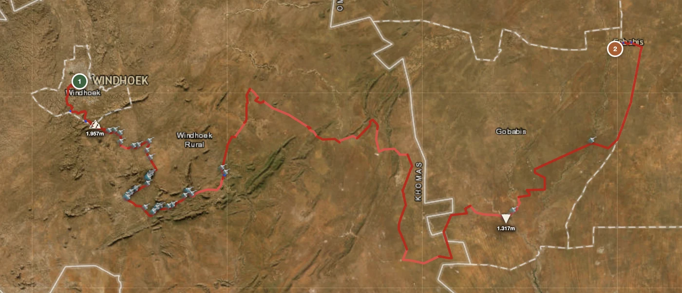
Country Overview
Namibia is one of very few countries where the unpaved road is the main network rather than the alternative. The C- and D-road system covers the country in graded gravel, and outside a handful of tarred trunk routes it is simply how you travel — hundreds of kilometres between settlements, across a landscape that runs from the Namib sand sea on the coast through an interior escarpment to the basalt and rock of the northwest.
For a rider the appeal is scale and emptiness: a country the size of France with around three million people, where a day can pass with a handful of vehicles. The cost is that everything has to be planned — fuel range first, then water, then the fact that help is far away. Corrugation on the graded roads is relentless and is what actually breaks bikes and luggage here; the usual advice on Namibian gravel is to keep it around 70 km/h and treat 80 as the ceiling. The great desert parks are worth knowing about but are not part of a ride: motorcycles are not permitted inside most of them.
The Regions
The desert edge, where the interior plateau drops to the sand sea. The escarpment passes — Spreetshoogte, Gamsberg, Kuiseb — are the classic gravel descents, steep and loose with enormous views. Sossusvlei and the dune fields sit below. Dry all year; the wind and washboard are the constants.
Open basalt and gravel country running to the coast. Roads are graded but rough, distances between settlements are long, and the ephemeral river beds — Ugab, Huab, Hoanib — are where sand and flash-flood risk actually live. This is the region where fuel range decides the route: 200 km between stations is normal here and 400 km happens.
The hardest riding in the country and effectively expedition terrain: deep sand tracks, rock steps, no fuel, no signal, and river crossings on the Angolan border. Opuwo is the last real supply point; the classic Marienfluss–Kunene–Purros run is planned around a range near 1,000 km. Not a place to ride alone or unprepared, and the one region here where turning back is a normal outcome rather than a failure.
When to Ride
The dry season, roughly April to October, is the riding season — cool mornings, dry riverbeds, firm gravel. June and July bring genuinely cold desert nights, sometimes below freezing, alongside warm days. The wet season (Nov–Mar) is hot, and while rain totals are small the consequences are not: ephemeral rivers can come down in minutes and cut a gravel road for hours or days, and clay sections turn greasy. The shoulder months of April and October are often the best compromise between temperature and traffic.
Regions to Plan Around
- →Namib escarpment passes — Base in Windhoek or Swakopmund and link the escarpment descents into the desert — Spreetshoogte, Gamsberg, Kuiseb. 3–5 days of graded gravel with real elevation change. Best Apr–Jun and Sep–Oct.
- →Damaraland north — Work northwest from the Erongo into the basalt country and the ephemeral river systems. 4–7 days, long fuel gaps, and the point where a jerrycan stops being optional. Best May–Sep.
- →The southern loop — Fish River Canyon, the Sperrgebiet edge and the road network back through the Naukluft — big distances on good gravel, and the easiest of the three to plan for a first Namibia trip. Best Apr–Oct.
Practical
200 km between stations is normal and 400 km happens. Never pass a station below half a tank. In the Kaokoveld, Opuwo is the last real supply point — the Marienfluss–Kunene–Purros run is planned around a range near 1,000 km.
Namibian dollar (NAD), pegged one-to-one to the South African rand, which is accepted everywhere. Cards in towns and lodges; cash for everything smaller.
Inside the SACU customs area — no carnet at a land border, a temporary import permit is issued at the post. Entry from South Africa or Botswana is straightforward.
Campsites and lodges follow the main routes. The northwest has very little of either, so the day has to end where the bed is. Book ahead in the dry season.
Follows the tarred trunk routes and the towns. The C- and D-road network has long dead stretches; offline maps are not optional and a satellite messenger is reasonable.
The usual advice on Namibian gravel is to keep it around 70 km/h and treat 80 as the ceiling. Corrugation is relentless and is what actually breaks bikes and luggage here — not the sand.
Plan a Namibian gravel route
Start in Windhoek or Swakopmund and let GoraAdv route you along the C- and D-road network instead of the few tarred trunk roads.
Open the Planner →