Featured Route
Why Adventure Riding in Poland
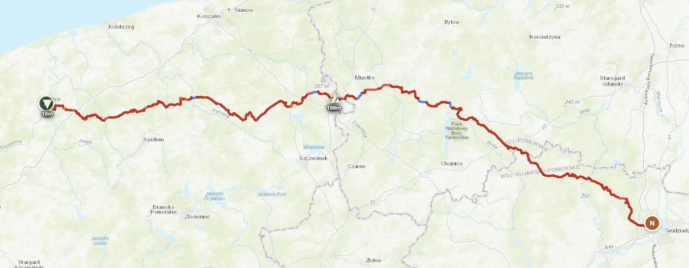
Poland's backcountry splits into three distinct zones. The Bieszczady mountains in the southeast are the country's wildest: beech forests climb to 1,300 m, alpine meadows (połoniny) sit exposed at altitude, and water crossings are common after rain. The Sudetes, running along the Czech border, are rocky and dense with gravel infrastructure, best for technical terrain practice. But the real discovery is Mazury in the northeast — a vast flat maze of sandy forest tracks and field roads weaving between 126 glacial lakes. No elevation, no drama, pure sand navigation.
What draws riders here is the emptiness and the access. The Bieszczady feel properly remote despite being central Europe, with long days of gravel and minimal traffic. Mazury's flat forest roads are deceptively technical in wet conditions and offer an entirely different skill set than mountain tracks. And prices are one quarter of western Europe — a full riding day with fuel, food and bed costs under 60 EUR. Combined with Poland's legal camping spots and well-stocked supply towns, it rewards independent riders planning their own loops.
The Regions
Poland's alpine wilderness. Meadow tracks above the tree line, technical rock sections, water crossings through beech forest valleys. Remotest area in the country — settlements thin out fast. June through September only.
Hardangervidda. Tech rocky gravel and dense forest roads along the Czech and Slovak borders. Lower than Bieszczady but wetter — clay becomes treacherous after rain. Góry Stołowe and Karkonosze foothills are the focus areas.
Flat sand and pine forest tracks stitching between 126 glacial lakes. Different world from mountains — long sandy corridors, field roads, and navigation-heavy riding. Driest in spring. Dzūkija forest to the east continues the pattern.
When to Ride
Poland's riding season mirrors its continental climate: short but intense. May through September delivers the goods — warm days (20–28°C), long light, and tracks at their driest. April is a dice roll: Mazury's sandy forest roads may be fine, but Bieszczady mountain tracks above 800 m are still thawing and can be swampy from snowmelt. Summer storms hit the Sudetes and Bieszczady in July–August, usually as afternoon downpours that pass within an hour but leave clay tracks treacherous. October brings beautiful autumn colour in the Bieszczady but early frosts and shorter days make it marginal. November through March is off-season everywhere — subzero temperatures, snow at elevation, and mud in the lowlands.
How to Fit It Into Your Route
- Czech Republic → Poland → Slovakia triangle. Enter via Karkonosze (Czech border), ride Sudetes, exit over Low Tatras into Slovakia — compact mix of rocky and forest gravel.
- Bieszczady → Mazury crossing. South-to-north from Bieszczady mountains across Roztocze plateau into Mazury's lake district — two entirely different terrain types in one 5-day route.
- Poland → Lithuania Baltic push. Mazury gravel to the Curonian Spit, then cross into Lithuania's Dzūkija forests — taiga-like conditions and wild camping throughout.
Practical
The Bieszczady are Poland's most remote — fuel stations 40 km apart from the park interior. Fill up in Lesko or Ustrzyki Dolne. Sudetes have stations in Kłodzko and Jelenia Góra. Mazury has better distribution — every 20–30 km. Carry PLN cash for unmanned pumps.
Poland uses złoty (PLN), not euro — roughly 4.2 PLN = 1 EUR. Cards work in towns and major stations, but rural shops and mountain pensions are cash-only. Poland offers exceptional value: fuel, food and accommodation run 25% of western Europe prices. A full riding day with fuel and bed costs under 60 EUR.
Schengen — open borders with Czech Republic, Slovakia, Lithuania. No formalities. Crossing the Ukrainian border in the far northeast is closed to tourist traffic.
Official wild camping sites (miejsca biwakowe) exist in State Forests. Ustrzyki Górne, Kłodzko and Giżycko are regional hubs with pensions. Book mountain accommodation ahead for July/August. Lakeside guesthouses in Mazury are plentiful.
Dead zones in the Bieszczady valleys (15–25 km) and Mazury pine forests. Download offline maps before entering remote areas.
May–September: 15–28°C. Bieszczady higher elevations run 8–15°C at altitude. July–August afternoon storms common in mountains. October frosts begin early. Winter snow and subzero temps make off-season riding impossible.
Plan an offroad route in Poland
Set your start and end — GoraAdv finds the most offroad line between them. Adjust, calculate, export GPX.
Open the Planner →