Featured Route
Why Adventure Riding in Finland
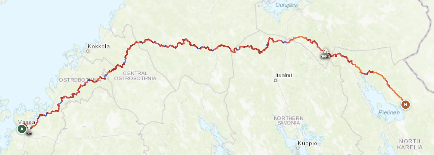
Finland is a country of vast boreal forest and 300,000 kilometres of gravel roads that haven't made it onto most maps. The landscape is horizontal — low fells in Lapland, endless pine and birch elsewhere — but it extends 1,200 km north into the Arctic. What makes Finland distinct for offroad riders is the abundance: more gravel per square kilometre than anywhere else in mainland Europe, and a legal framework (jokaisenoikeus, right of access) that lets you camp almost anywhere in public land.
The riding season is compressed but intense. June through August is a continuous-light window in the north — the midnight sun rewards the rider who can stay awake. Weather is a factor (expect rain, wind and mosquitoes in July) but the gravel is predictable, and the sense of empty space is absolute. This is not dramatic mountains; it is scale of a different kind.
The Track Networks
The mountainous north. Fell terrain above the treeline with vast horizons, tundra vegetation and gravel access roads. The Lemmenjoki and Urho Kekkonen national parks anchor this zone. Late June through early September only.
The heart of Finland. Flat forests interspersed with thousands of lakes. The densest network of forest gravel roads — some mapped, many not. Smooth riding and excellent navigation challenge.
Archipelago, farmland and forest. Historically the oldest riding area with established routes. Good coastal access and easier logistics, but less "wilderness" feel than the interior.
When to Ride
Finland's riding season is short but intense. June through August are the prime months — long daylight, dry gravel, 15–20°C in the south and 10–15°C in Lapland. May is marginal: snow has usually melted in the south but Lapland tracks can still be soft and waterlogged from spring thaw into late May. September works in southern Finland but Lapland gets first frosts. October onward, expect snow in the north and near-freezing temperatures everywhere. The midnight sun window (early June to early July at the Arctic Circle) gives you 24 hours of riding light in Lapland.
How to Fit It Into Your Route
- Finland → Sweden → Norway loop. Cross west from central Finland into Sweden's forest roads, then into Norway's mountains — the full Nordic triangle.
- South to north traverse. Start in Helsinki or Turku, ride the full length of the country on gravel and forest tracks to Rovaniemi and the Arctic Circle.
- Estonia ↔ Finland lake-country loop. Cross the Gulf of Bothnia east to Estonia, ride its forest roads south, then return via ferry — a short but complete Nordic crossing.
Practical
In Lapland, stations can be 80–100 km apart with many unmanned self-service (card only). Fill up at every opportunity in the north.
Euro (EUR) — Finland is in the Eurozone. Cards work almost everywhere; cash rarely needed in towns or on major routes.
Schengen — open land borders with Sweden and Norway, open sea borders with Estonia. No border formalities.
Jokaisenoikeus (right of access) lets you camp almost anywhere on public land. Over 200 official campsites and wilderness cabins in national parks.
Good coverage across most roads. Download offline maps before entering wilderness zones — dead spots exist in deep forests and valleys.
June–August: 15–20°C in the south, 10–15°C in Lapland. Nights can drop to 5°C even in July. Pack layers and rain gear always.
Plan an offroad route in Finland
Set your start and end — GoraAdv finds the most offroad line between them. Adjust, calculate, export GPX.
Open the Planner →