Featured Route
Why Adventure Riding in Sweden
Sweden is forest and gravel roads from south to north. The landscape is monotonous until you understand it — endless birch and pine, lakes, bog and soft gravel surfaces that barely mark the landscape they cross. The densest road networks are in Dalarna and Hälsingland in the central region, but Jämtland to the north is the heart: wilder, higher, and the last real frontier before the mountains. What riders find here is freedom of movement and precision navigation challenges — many forest tracks aren't marked on standard maps.
Sweden offers allemansrätten (right of access) and the freedom to camp almost anywhere. The riding season is short (June through September) but the midnight sun effect in the north creates a unique riding experience. Mosquitoes in July are intense, but August and September offer the same conditions with far fewer insects.
The Regions
South-central Sweden with rolling forests and established gravel networks. Accessible early and late in the season. Värmland to the west connects Sweden and Norway via soft forest roads.
The wilderness core of Sweden. Continuous forest roads and mountain character, especially above 700 m. Jämtland fjälls offer fell terrain. Longer rideable season but requires good map work.
The far north. Continuous gravel and forest all the way to the Scandes. The mountain passes above 800 m are summer-only. Mosquitoes are legendary in July.
When to Ride
Sweden's riding season is compressed but intense. June through September is the window — long daylight hours in the north (near-continuous in June), dry forest tracks and mild temperatures across the highlands. May is possible in the south and Dalarna, but the northern forest roads are often still soft from snowmelt until late May, and some highland tracks above 800m don't fully open until mid-June. October can work in the south on clear weeks but the forest light drops fast and frost arrives at altitude. November through March is winter everywhere: snow, ice, darkness and frozen tracks. The Jämtland fjälls specifically should be treated as summer-only terrain — the same roads that are perfect in July are under a metre of snow in December.
How to Fit It Into Your Route
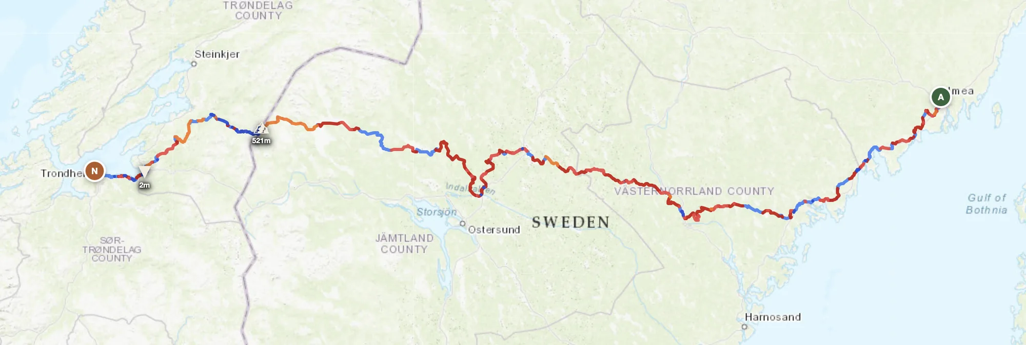
- Norway → Sweden → Finland loop. Cross into northern Sweden from Norway's Trondheim, ride the Scandes south through Jämtland, then east into Finnish Lapland for a complete boreal wilderness triangle.
- South-to-north forest traverse. Start in Stockholm or Dalarna, follow the gravel networks north through Hälsingland and Jämtland, finishing in Abisko at the Arctic Circle.
- Värmland → Norway crossing. Ride west from central Sweden into Värmland's ancient forest roads toward the Scandes, crossing into Norway's mountain valleys for a short but scenic alpine connection.
Practical
Widely available in the south. In Jämtland and north, gaps can reach 100–150 km — plan ahead. Most stations are unmanned 24h card-only pumps.
Swedish krona (SEK) — Sweden is not in the Eurozone. Card payments work almost everywhere; cash is rarely needed.
Schengen — open land borders with Norway, Finland and Denmark. No border formalities.
Allemansrätten lets you camp anywhere on public land — free, legal, and the forests are full of perfect spots. Book hotels ahead in July when Swedish summer holidays fill everything.
Good in the south, real gaps in Jämtland and the wilderness corridor. Download offline maps before long forest sections.
June–August: 12–18°C in the north, 18–22°C in the south. Nights drop below 10°C above 800 m. Pack layers; mosquitoes in July are intense.
Plan an offroad route in Sweden
Set your start and end — GoraAdv finds the most offroad line through the forest. Adjust, calculate, export GPX.
Open the Planner →